Hondasxs
Club Founder
Staff member
Lifetime Member
Supporting Member
Whoever mentioned OruxMap this week I want to thank you.
My ol' Garmin eTrex is pushing 8 years old and I think its time for a replacement. I have been looking for a good Phone/GPS replacement and have been playing around with BackCountryPro for a few trips now. I just seem to revert back to the Garmin.

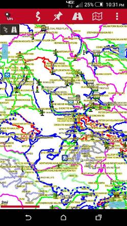
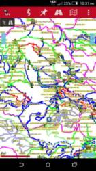
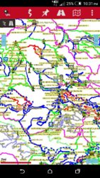
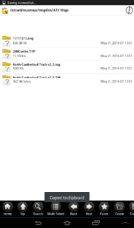
This week I installed OruxMap on my HTC M8. I have been playing around with it a few days now and have begun to like it. Today I was pulling updates from GPSDepot and see the file of WV that I normally use includes OruxMap files too. I even found directions for pulling offline maps from Google and Bing including Hybrid, Topo, Streets, and Aerial.
I think I am sold.
This weekend I am leading a few local guys around the back trails of WV. I have a route set and plan to use OruxMaps 100%. Wish me luck!
But, I will still have my ol' trusty Garmin in the bag somewhere. lol.
Who else use OruxMaps for long distance mapping?
Have any suggestions, tips, or tricks?
Thanks.
My ol' Garmin eTrex is pushing 8 years old and I think its time for a replacement. I have been looking for a good Phone/GPS replacement and have been playing around with BackCountryPro for a few trips now. I just seem to revert back to the Garmin.

This week I installed OruxMap on my HTC M8. I have been playing around with it a few days now and have begun to like it. Today I was pulling updates from GPSDepot and see the file of WV that I normally use includes OruxMap files too. I even found directions for pulling offline maps from Google and Bing including Hybrid, Topo, Streets, and Aerial.
I think I am sold.
This weekend I am leading a few local guys around the back trails of WV. I have a route set and plan to use OruxMaps 100%. Wish me luck!
But, I will still have my ol' trusty Garmin in the bag somewhere. lol.
Who else use OruxMaps for long distance mapping?
Have any suggestions, tips, or tricks?
Thanks.


